Project
CityMap
A TOGAF-inspired "city map" editor for enterprise architecture — districts, neighbourhoods, buildings, and rooms on a pan-and-zoom canvas, editable by people and by AI through REST and MCP.
Enterprise architects reason about large estates with a city-planning metaphor: capabilities are districts, systems are neighbourhoods, applications are buildings, modules are rooms. CityMap gives that model a real canvas, so a portfolio of hundreds of components stays navigable instead of collapsing into a slide deck.
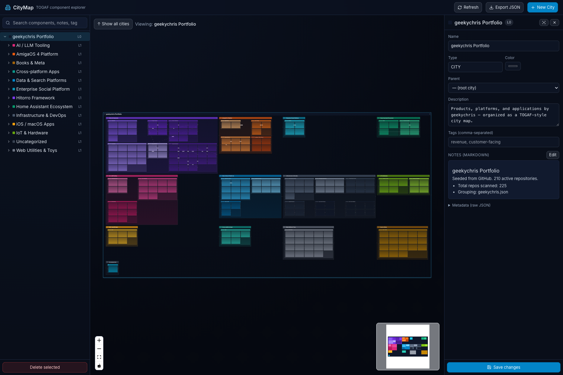
You can try a live export in the browser: my whole GitHub portfolio as a city — 257 components and 33 dependency edges in one self-contained HTML file.
What it does
-
Nested components from city down to room (L0 to Ln) on a pan-and-zoom canvas with drag and drop, inline editing, Markdown notes, search, and cross-cutting dependency edges.
-
Focus into any district, then any subsystem, to reveal its parts.
-
Treats the map as data: a REST API and an MCP server let scripts and AI agents create, evolve, and query the model the same way a person can.
-
Exports a self-contained interactive HTML file, and seeds a map from a GitHub account.